
What does sea level rise have to do with an inland spring?
What does sea level rise have to do with an inland spring?
While disappearing beaches and coastal flooding are the most commonly considered impacts of sea level rise, a recent study shows that the impacts will extend to inland springs.
Original Paper:
Davis, J. H. and Verdi, R. (2014), Groundwater flow cycling between a submarine spring and an inland fresh water spring. Groundwater, 52: 705–716. DOI: http://dx.doi.org/10.1111/gwat.12125
When people hear the phrase "sea level rise," many likely don't associate it with impacts on a freshwater spring many miles from the ocean. But while disappearing beaches and coastal flooding are the most commonly considered impacts, they are not the only effects of rising ocean levels.
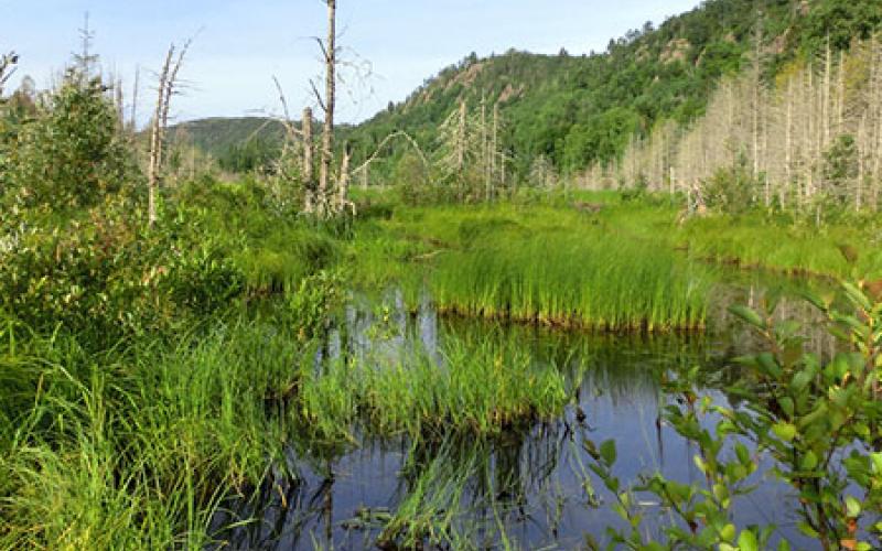
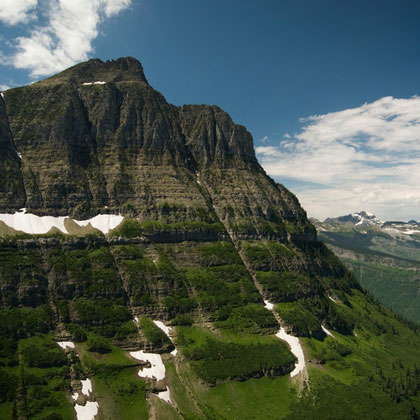
The panhandle of Florida is rife with karst-type geology — that is, a largely limestone system that is particularly effective at holding and transporting groundwater. This geology has led to the formation of numerous freshwater springs, water-filled caves, and streams that simply disappear into the ground where the limestone eroded away. Under the surface there is a complex network of connections linking the various features over tens of miles: the disappearing streams connect to the springs, the springs to the caves, and the caves to more springs. The springs are the main outlet for the system and occur both many miles inland and immediately adjacent to the coast, submerged out of sight. Of course, the coast is where sea level rise is felt, so what does it mean for the inland spring?
In a recent study, researchers from the U.S. Geological Survey and the Florida Department of Environmental Protection set out to test the links between the seemingly disparate issues of coastal sea-level rise and the flow from an inland, freshwater spring. The study was based on freshwater flows from the Wakulla and Spring Creek Springs in Florida. The former is 20 kilometers inland and the latter discharges water directly into the coastal system. The researchers hypothosized that as sea levels rise, there is more water pressure — or head — at the Spring Creek Spring. Longterm data from Wakulla Springs suggest that this is true. To test the theory, the researchers installed monitoring equipment below both springs to measure flow, temperature, salinity, and other criteria. Based on the direction of flow and how salty the water was, they could determine how much of the flow was from the freshwater spring versus from the tides.
The study was able to match the precipitation patterns in the area with the different flows to develop and prove the hypothesis. Salt water is denser than freshwater and the height of the water is slowly rising, so when precipitation is low, the freshwater is not at a high enough pressure to force its way through the salt water; it is effectively blocked from Spring Creek Spring. The pressure of the salt water above the freshwater at Sandy Creek Spring results in more water at Wakulla Springs, 20 kilometers from the sea, as the freshwater seeks the lowest pressure exit from the system.
Fortunately the total volumes of water in this system are not large and there is no immediate threat of flooding or other adverse effects from increased flows at Wakulla Springs. However, the risk of saltwater intrusion to the groundwater is one local concern, and other coastal karst systems may have higher flows or a comparatively greater reliance on the freshwater within. The general takeaway is that sea level rise has impacts that are just now being understood, and in a different coastal system with different geology and populations, the impacts could be more serious. But for now, the research into sea level rise effects on coastal karst systems is still nascent and much more is still to be done.
You might like these articles that share the same topics
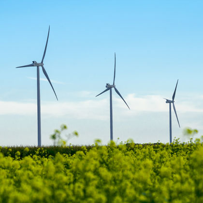
In Kansas, researchers are finding easy ways to minimize the negative impacts of wind energy while greatly surpassing the U.S. Department of Energy's 2030 goals.
The policies and measures aiming at reducing emissions from deforestation and forest degradation (REDD+) have proliferated, resulting in varying interpretations of "safeguards". Now that REDD+ is maturing, direct trade-offs between monetized emissions reductions and social and biodiversity values call for more explicit regulations in this approach to climate change mitigation.
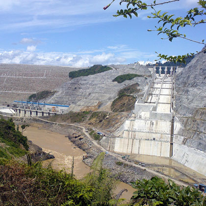
The Malaysian state of Sarawak started its implementation of a gigantic hydropower project with the goal to leapfrog into modernity. This causes a range of unfavorable consequences that should be carefully assessed by other countries in the region that plan to install similar projects.
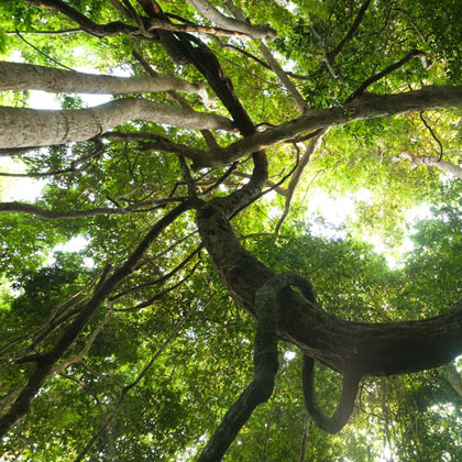
It is often assumed that global warming will make mountain trees climb uphill. A new long-view study shows that this is not always the case, meaning that managers must take heed when planning the future of their forests.