
Measuring ecosystem services at multiple scales
Measuring ecosystem services at multiple scales
Ecosystem services are the tangible benefits natural systems provide to humans. Increasingly, the ecosystem services concept has been recognized for its value in the decision-making process. This is true at geographic scales ranging from small villages to entire continents. Defining the ecosystem services provided by a region necessarily involves both human values and the collection of scientific data.
Original Article
Dick, J., Maes, J., Smith, R.I., Paracchini, M.L., and Zulian, G. 2014. Cross-scale analysis of ecosystem services identified and assessed at local and European level. Ecological Indicators 38: 20-30.DOI: http://dx.doi.org/10.1016/j.ecolind.2013.10.023.
Ecosystem services are the tangible benefits natural systems provide to humans. Increasingly, the ecosystem services concept has been recognized for its value in the decision-making process. This is true at geographic scales ranging from small villages to entire continents. Defining the ecosystem services provided by a region necessarily involves both human values and the collection of scientific data. These sources of information and motivation for human action have often been viewed as competing. This article explores the potential of local and regional data, from objective and subjective sources, to work together in characterizing the ecosystem services important in a given region.
The first measurement of ecosystem services, known as the ECN approach, was implemented by surveying local land managers and can be considered a 'bottom-up' or grass roots approach. The second method, known as the European Union (EU) method, used regional datasets available for the UK. The latter approach is considered a 'top-down' method. Seventy-three and sixteen indicators were used to represent ecosystem services by the ECN and EU methods, respectively.
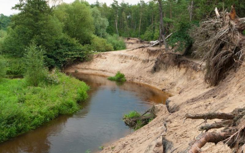
Ecosystem services can be categorized as provisioning, regulating or cultural. A provisioning service is one that provides the resources we need to thrive such as food, water and fiber. A regulating service is one that contributes to healthy, stable and productive ecosystems. Climate regulation, water purification and erosion control are examples of regulating services. Humans directly appreciate nature for the cultural services that it provides. Pleasing vistas, spiritual settings and boating opportunities are all cultural benefits.
Indicators are used to measure such services. Each indicator produces a number, and these numbers are combined mathematically to produce what is known as the Total Ecosystem Services Index or TESI. TESI values for each site and between methods were compared. The researchers were trying to see how closely the results of the two methodologies matched. No statistically significant correlation (p <= 0.05) was shown for regulating, provisioning, cultural or total TESI scores. The relationships, however, were all 'positive' (i.e. trending upwards) indicating that coarse EU data is capable of capturing main trends even at small scales.
A number of individual indicators were also examined for correlation between methods. These included measures of livestock production, climate regulation (CO2 absorption), erosion control and deposition velocity (measures Nitrogen and Sulfur uptake by land). Livestock indicators showed a statistically significant relationship between EU and ECN methods. Erosion control exhibited no relationship (i.e. not good) and the other two had weak positive relationships. This result suggests that ach indicator needs to be judged individually for its cross-scale (local to regional) measurement potential. In some cases, erosion for example, more work needs to be done so that local and regional data can 'speak to one another.'
Given the relative adolescence of this field and the complexity of social-ecological relationships, this research provides an encouraging result. As more effort and research is focused on these areas it seems likely that data sets generated at different spatial scales and using different types of data will complement one another and converge on a coherent message regarding the health of global ecosystems and the benefits they confer upon society. Of course, it is hard to expect that such different approaches will ever perfectly mirror one another. Luckily, this outcome is neither expected nor desired. Rather such diverse methods provide divergent, complementary perspectives. In part this divergence is due to the specific selection of indicators. TESIs at multiple-scales have potential to provide managers with a scientifically robust assessment of ecosystem services to help us care for the places that we call home.
You might like these articles that share the same topics

Recent studies at one of the BP-Deepwater Horizon oil spill sites has revealed that, preceding engineering activities diminished the resilience of the salt water marshes.

The Great Lakes – our largest global reserve of freshwater – are under attack from invasive species, and a new study provides an estimate of what this will cost us.

In Kansas, researchers are finding easy ways to minimize the negative impacts of wind energy while greatly surpassing the U.S. Department of Energy's 2030 goals.

The invasive Burmese python has been linked to mammal declines Florida's Everglades National park. Researchers fear that some of the endangered species of the region may be in danger.