
Mapping agricultural water contamination risk in California’s Central Valley
Mapping agricultural water contamination risk in California's Central Valley
Groundwater contamination from agricultural sources threatens drinking water quality in California's San Joaquin Valley. Application of a geospatial tool may help farmers, researchers, and regulators identify farmland contributing to the problem.
Original Paper:
Dzurella, K. N., Pettygrove, G. S., Fryjoff-Hung, A., Hollander, A., & Harter, T. (2015). Potential to assess nitrate leaching vulnerability of irrigated cropland. Journal of Soil and Water Conservation, 70(1), 63-72. DOI: http://dx.doi.org/10.2489/jswc.70.1.63
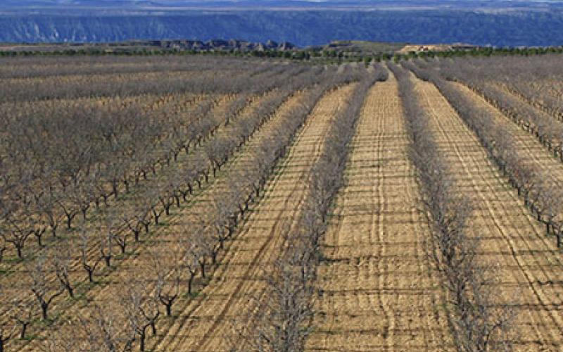
California's San Joaquin Valley is host to some of the most productive farmland in the United States. The area is a patchwork of different crops, soils, and farming practices. However, the area also receives little rainfall and requires irrigation to meet the needs of crops on across an ever-increasing acreage of land. Large, unsustainable withdrawals of groundwater are one major issue resulting from high irrigation demand in these areas, and now it appears there is another: nitrate contamination.
Researchers from the University of California, Davis used a GIS-based tool to map the hazard index of leaching in California cropland — a single number that conveys the risk of nitrogen leaching from the crop to groundwater. The tool requires just three inputs: soil properties, crop properties, and the type of irrigation currently applied. The high-resolution model provides results at the scale of the individual field, identifying each field with a risk rating on a scale between 1 and 80.
The researchers used the tool to assess a four-county area in California's agriculturally dominated Central Valley, finding that nearly a third (31 percent) of the cropland was at high risk for nitrate leaching.
Leaching was associated with two primary factors: coarsely textured soils, which drain readily, and surface irrigation, which involves the flooding of fields. Crop type can also play a role in the risk of nitrate contamination. For example, wine grapes require little fertilization and their roots can grow to depths of 20 feet or greater, minimizing the risk of nutrients escaping. In contrast, spinach must be grown on coarse soils with heavy fertilization; its small and shallow root mass further increases the risk of nitrate leaching.
Initially, the researchers recommend incentivizing farmers in high-risk areas to switch over to less water intensive forms of irrigation, which could reduce high-risk acreage by a third. While leaching of nitrate does not guarantee transport to groundwater, it is certainly part of the process, they say. While the tool could not account for the specific management practices on individual farms, the tool does allow users make inferences about regional land management practices at a finer spatial scale than previous data allowed. Due to the tool's simplicity, the researchers hope that growers, regulatory agencies, or educators might use it in their own future work.
You might like these articles that share the same topics

The Great Lakes – our largest global reserve of freshwater – are under attack from invasive species, and a new study provides an estimate of what this will cost us.
Scientists explore how and what kind of methane makes it into natural gas wells.

A new study calculates the total water usage for shale-gas production in Texas. While the total water usage doesn't overwhelm state resources currently, the variability in local conditions over time will call for more careful consideration of water resources in the future.
People appreciate farmland for more than what it can grow, but values vary.