
Remote Sensing Closing in On Wildfire Prediction

Remote Sensing Closing in On Wildfire Prediction
Researchers are exploring the potential of using remote sensing of Live Fuel Moisture Content as a landscape level fire predictor.
Original Paper:
Marta Yebra, Philip E. Dennison, Emilio Chuvieco, David Riaño, Philip Zylstra, E. Raymond Hunt Jr., F. Mark Danson, Yi Qi, Sara Jurdao,'A global review of remote sensing of live fuel moisture content for fire danger assessment: Moving towards operational products,' Remote Sensing of Environment 136 (2013), 455-468
http://dx.doi.org/10.1016/j.rse.2013.05.029
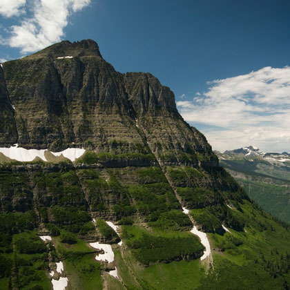
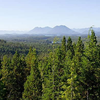
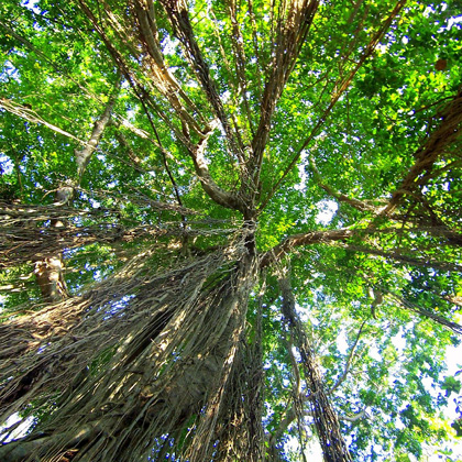
From the Journal of Remote Sensing of Environment, comes an article that will be of great interest to Fire and Fuels managers. 'A global review of remote sensing of live fuel moisture content for fire danger assessment: Moving towards operational products,'discusses the potential for live fuel moisture calculations on a global scale using remote sensing. Live fuel moisture content (LFMC), as the name may imply, refers to the moisture content of live vegetation. This moisture content is a key indicator of fire danger and fire behavior once an ignition is detected.
The authors of this article seek to summarize the work being done in this arena and identify areas for where further research is needed. They found two main frameworks that are currently being used to estimate LMFC. The first is a physical model, which relies on observable physical characteristic differences of wet versus dry canopies and vegetation. An example being the varying air and canopy surface temperatures due to varying transpiration rates in moist versus dry canopies. The lower the LFMC of the canopy the lower the rate of transpiration, which results in a higher canopy to air temperature ratio. These higher canopy temps and corresponding lower LFMCs result in increased combustibility and faster rates of fire spread.
The second model is more statistically based. In this model ground observations are matched against remote sensing observations to provide inference for larger areas. These methods are also relying on simulating models to provide parameters from which to translate reflectance data from remote sensing.
The ramifications of such mapping on fire planning and prevention could be huge. As wildfire in the US continues to be one of the biggest challenges facing federal and state land managers, predicting areas of high fire danger could help containment efforts through the efficient prepositioning of response resources and predicting fire behavior.
In terms of long-term mitigation and management, prescribed fire implementation relies heavily on knowledge of fuel moisture contents to predict when burning would achieve desired ecological and social goals. Conventional fuel moisture monitoring techniques have depended on ground personal collecting and sampling vegetation by hand. Monitoring these moisture levels can be time consuming and expensive; as such, the data collected is often limited to specific areas of interest and can lack a landscape level perspective. Accurate fuel moisture mapping could provide key, real-time information in regards to what areas are in optimum conditions to conduct prescribed burns.
The catch is that current remote sensing models produce margins of error of 8 to 20% in shrub land, 25-61% for grasslands, and approximately 30% in woodland areas. Such inconsistencies can mean the difference between vegetation being all but unburnable to it being on verge of spontaneous combustion. One study cited in the report (Jolly, 2007) found that even a 10% difference in the LFMC could produce up to a 1200% difference in a fire's rate of spread. Technologies now in development have the potential to address current problems of spatial resolution and spectral dimensionality, which account for most of the margin of error in current models. The authors discuss several other issues that need to be addressed before remote sensing data is put into wide spread use including broadening the research areas, as most of the studies to date have taken place in Mediterranean Europe and Western North America.
You might like these articles that share the same topics

The policies and measures aiming at reducing emissions from deforestation and forest degradation (REDD+) have proliferated, resulting in varying interpretations of "safeguards". Now that REDD+ is maturing, direct trade-offs between monetized emissions reductions and social and biodiversity values call for more explicit regulations in this approach to climate change mitigation.
It is often assumed that global warming will make mountain trees climb uphill. A new long-view study shows that this is not always the case, meaning that managers must take heed when planning the future of their forests.
In the summer of 1993, over 12,000 people flocked to the otherwise remote Clayoquot Sound to protest the logging of old growth forest on Meares Island, British Columbia. This precipitated changes in the public participation process that are still evolving twenty years later.
Sustainable forest management that aims at Reducing Emissions from Deforestation and forest Degradation (REDD+) includes payments to landowners and can provide economic benefits over alternative land uses such as oil palm plantations. If certain key factors are resolved, REDD+ can simultaneously achieve economic and social success while bringing ecological benefits and contributing to climate change mitigation.