
Land degradation in war and conflict regions
Land degradation in war and conflict regions
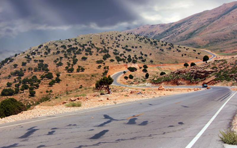
What happens to land under years of war and conflict? Satellite data and integrated modelling are helping to predict land degradation in war-torn regions of northern Lebanon.
Original Paper:
Mitri, George, Manal Nader, Irna Van der Molen, and Jonathan Lovett. 2014. Evaluating exposure to land degradation in association with repetitive armed conflicts in north Lebanon using multi-temporal satellite data. Environmental monitoring and assessment 186, (11): 7655-7672. DOI: http://dx.doi.org/10.1007/s10661-014-3957-5
Lebanon, like much of the Middle East, has faced decades of repetitive war and armed conflict. Starting with the Lebanese civil war (1975-1990) to the occasional armed clashes in Tripoli (2008-2013), the effects of war on people are clear: mortality, injuries, displacement, and life in refugee camps. However, research on the effects of conflict on the environment has been fragmented and limited. Multiple studies in Lebanon have looked at land degradation issues caused by unregulated development and urbanization, illegal quarrying and deforestation, artificial coastline building by illegal sea filling activities, challenges with solid waste disposal, and freshwater supply. Further, research in the field has been limited by security issues, making the extent of these environmental impacts largely unknown. Satellite data is now providing the information needed to understand land degradation at a larger scale.
Loss in vegetation cover; causing soil erosion
Artificialized coastline; affecting marine-coast ecology
Population density; leading to exploitation of land resources
Accessibility to agricultural land; abandoning inaccessible lands and urban migration
Damage to the landscape; direct impact on vegetation cover, soil and water resources
Distance to conflict center; greater damage to the environment in the conflict center
Fire-affected area; lack of management increasing the risk of severe and intense fires
Vegetation recovery; rate of vegetation regrowth
Integrated modeling and mapping showed that the major drivers for land degradation in the areas with high or moderate CLDI are their close proximity to conflict areas, urban sprawl, increase in population density, and unplanned urban development in cities' peripheries. Data from field visits conducted in 2011 and 2012 were used to identify the causes of land cover changes and the current state of land in the study sites. Comparing the results of the model and the data from the field visits, the CLDI effectively reflected the consequences of repetitive armed conflicts on land degradation with 90 percent accuracy.
Wars and armed conflicts affect the land directly through physical damage or indirectly by changing peoples' everyday practices and their use of natural resources. Land degradation has long lasting effects on communities, such as soil erosion and contamination, making them increasingly vulnerable to further land degradation, as well as to socio-economic and political powers. Thus, understanding the complex biophysical and socio-economic interactions of land degradation exposure is a key for post-conflict recovery. This pilot study using CLDI and integrated modeling and mapping, has the potential to be transferred to other areas of armed conflicts and to provide valuable information for post-conflict recovery and policy decision-making.
You might like these articles that share the same topics
The Malaysian state of Sarawak started its implementation of a gigantic hydropower project with the goal to leapfrog into modernity. This causes a range of unfavorable consequences that should be carefully assessed by other countries in the region that plan to install similar projects.

Regions containing much of the biological diversity on Earth should be conserved for reasons beyond the plant and animal species within them.

Scientists explore how entrepreneurs and decision makers can make or break how a national park benefits a community

Many conservationists and land planners look to property tax policy to encourage private landowners to keep their land undeveloped. While property tax can hold back the conversion of rural land to some extent, its impact is limited.